All Images © Ken Dewey, unless otherwise noted.
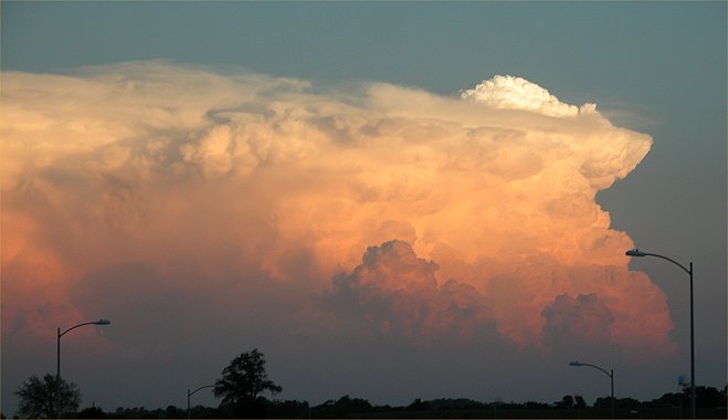
A thunderstorm over St. Joseph
Missouri as viewed from 98th and Highway 2 in far southeast Lincoln.
It is just after sunset, however
the storm is tall enough that it is still illuminated by the sun.
August
18, 2005.
Click
here for more information.
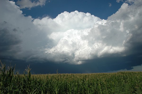
August
17, 2005. South of North Platte, and looking east toward
Dawson County.
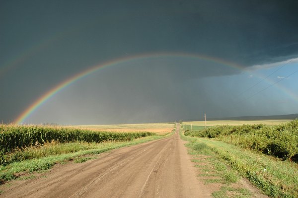
August
17, 2005. South of North Platte, and looking east.
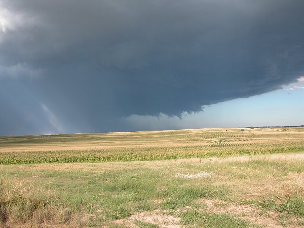
August
17, 2005. A funnel begins to form south of North Platte
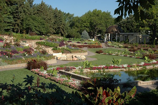
August
9, 2005. The newly renovated Sunken Gardens
at
27th Street and Capitol Parkway in Lincoln, Nebraska
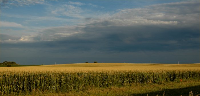
August
4, 2005. Hampton, Nebraska. The sun
breaks
out after a day of clouds and scattered showers.
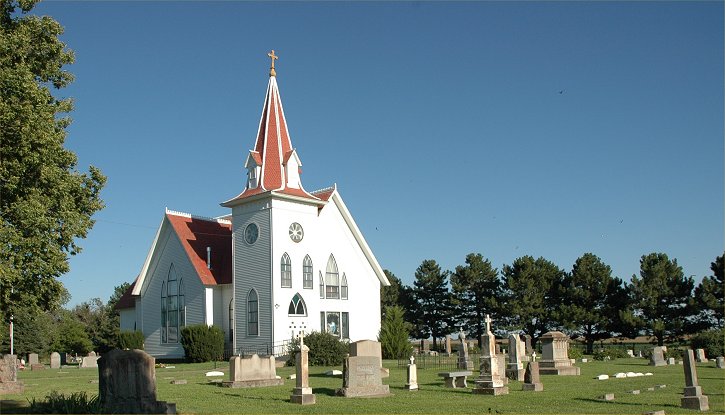
August
5, 2005. The town of Kronberg, Nebraska no longer exists,
however
the church remains and is still in use. It is located near Marquette,
Nebraska in Hamilton
County
and directly north of Hampton, Nebraska.
Historical
Hamilton County Towns
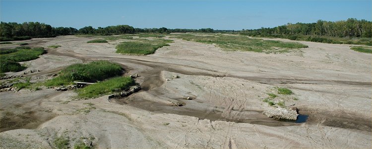
Image
© Ken Dewey, HPRCC. August 5, 2005: Looking Northeast from
the Nebraska Highway 34 bridge,
near
Grand Island, Nebraska. Despite slightly above normal rainfall this
year upstream of this location, the
Platte
river has run out of water for the 4th year in a row.
Platte
River Drought Photos, August 2005

August
5, 2005: Looking Southwest from the Nebraska Highway 34 bridge,
near
Grand Island, Nebraska. This is also the river gauge location (which
is noted by the red circle on the following map).
Platte
River Drought Photos, August 2005
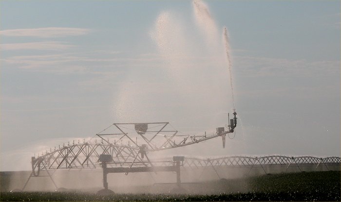
August
1, 2005, Central Nebraska
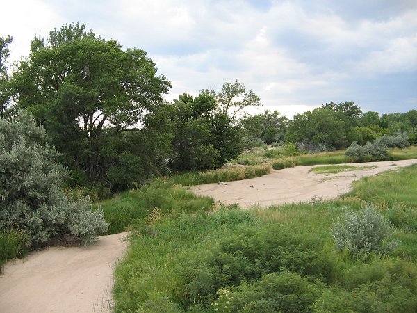
The
Republican River in Southwest Nebraska (near Stratton, NE) is dry for the
4th year in a row.
Image
© Melissa Melvin, SNR
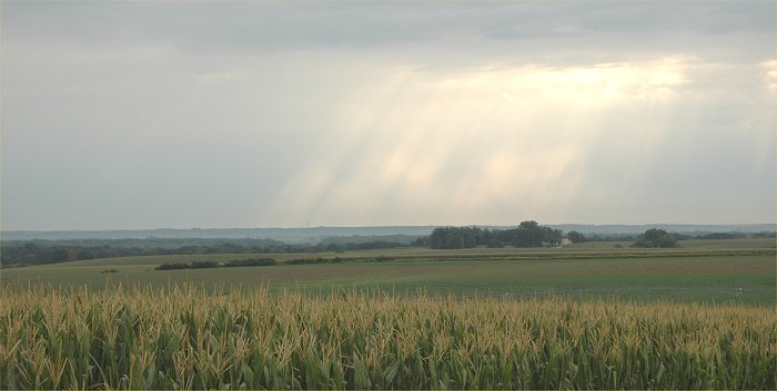
August 2, 2005: Early morning
north of Wahoo, NE and the sun breaks through the cloud cover
over Eastern Nebraska.