All Images © Ken Dewey, unless otherwise noted.
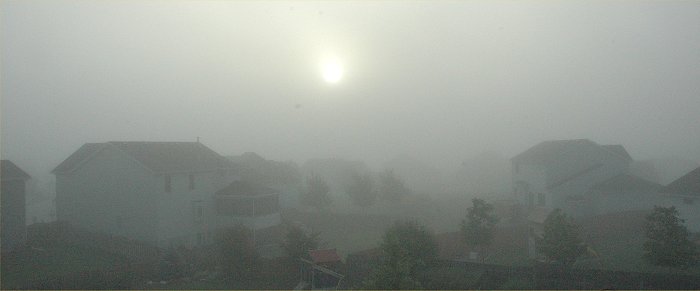
June 24, 2007: Tropical
moisture contributes to a foggy morning in Lincoln, Nebraska.
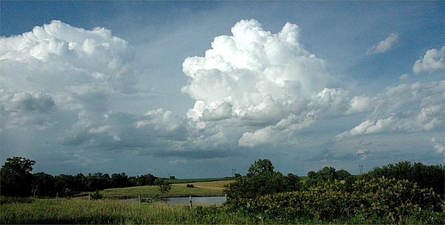
June 22, 2007: Cumulus
clouds begin to grow just west of Lincoln, Nebraska.
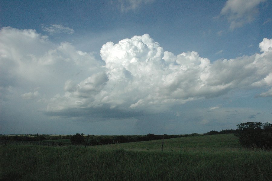
June 22, 2007: Cumulus
clouds begin to grow just west of Lincoln, Nebraska.
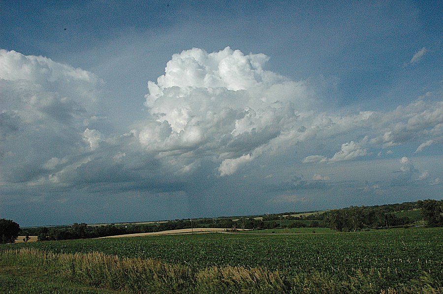
June 22, 2007: Cumulus
clouds begin to grow just west of Lincoln, Nebraska.
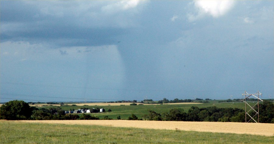
June 22, 2007: Just west
of Lincoln, Nebraska.
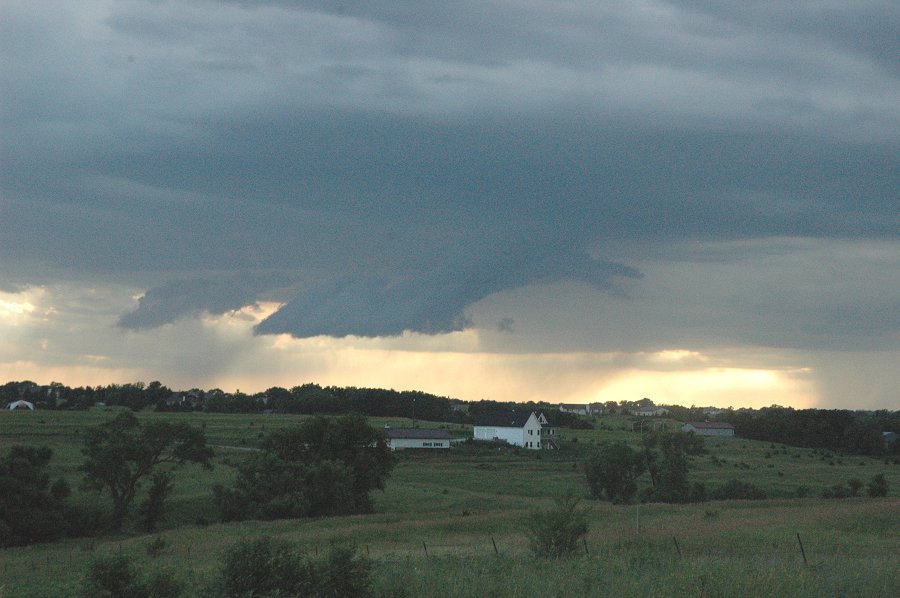
June 22, 2007: Just west
of Lincoln, Nebraska.
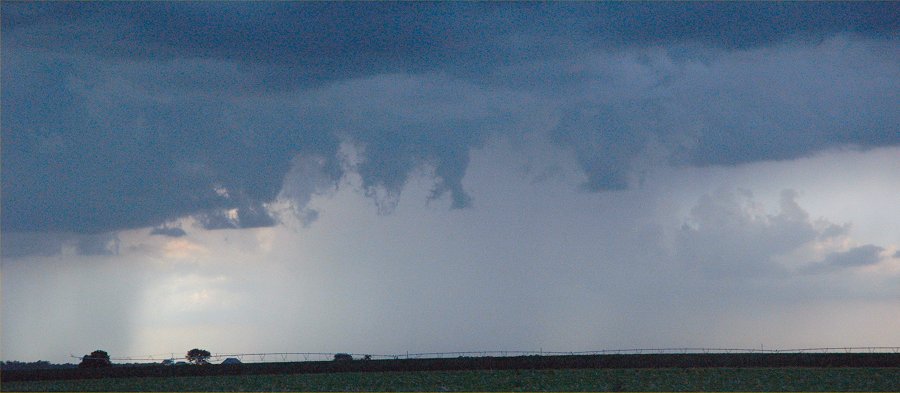
June 22, 2007: Just west
of Lincoln, Nebraska.

June 22, 2007: Two rain
shafts are visible beneath the clouds in the distance.
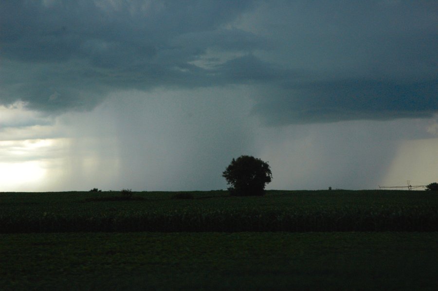
June 22, 2007: A rain shaft
just before sunset west of Lincoln, NE.
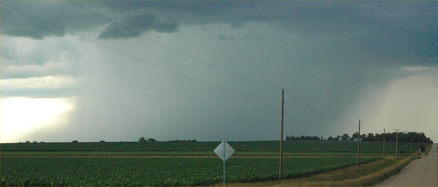
June 22, 2007: Another
rain shaft just before sunset west of Lincoln, NE.
The rain shaft is moving from
left to right in the image.
Note the bulge in the rain shaft
to the left where the rain cooled air is
slamming into the ground and
flowing away from the rain shaft.

June 22, 2007: A wide angle
view, same as the above image.
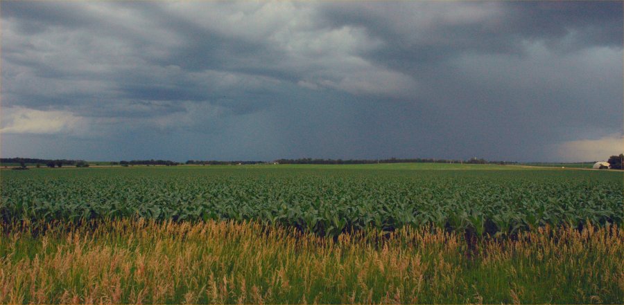
June 22, 2007: A lush green
corn field welcomes another rainfall across Lancaster County near sunset.
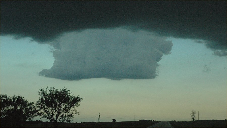
June 22, 2007: A strange
cloud formation hanging down from the base of a much larger cumulus cloud.
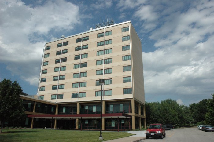
June 19, 2007: Hardin Hall,
home to the High Plains Regional Climate Center
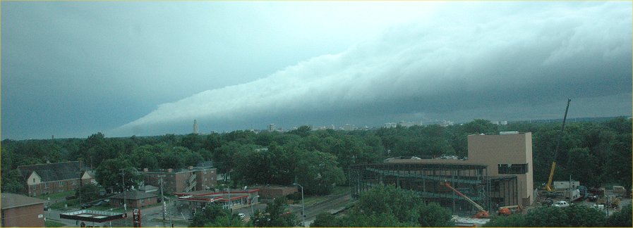
June 18, 2007: A "Roll
Cloud" moves over the city of Lincoln, NE, as viewed from the High Plains
Regional Climate Center.
.
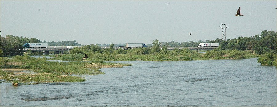
June 16, 2007: Looking
northeast where the Platte River flows under the I-80 Bridge south of Grand
Island.
New Link:
Platte
River, June 2007 River Flow Update

June 16,
2007 Flowers in Lincoln, Nebraska. .

June 16,
2007 Flowers in Lincoln, Nebraska.
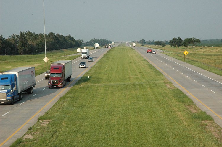
June 13, 2007: A sunny
afternoon along I-80 in Central Nebraska.
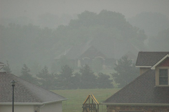
June 13, 2007: A foggy
and rainy morning in Lincoln, NE.
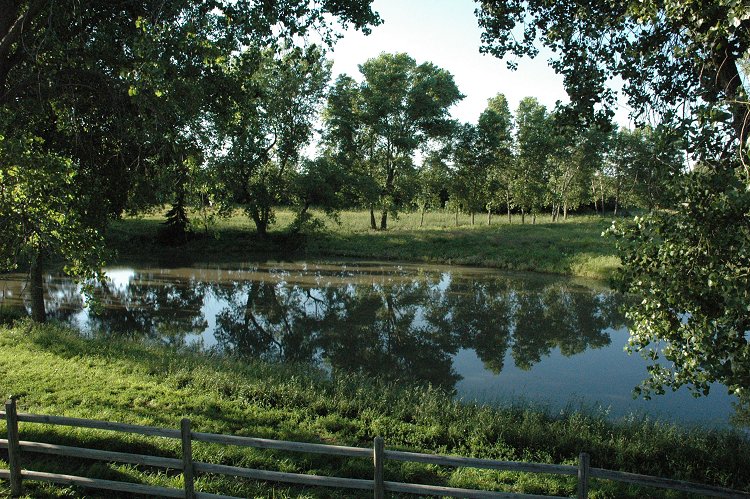
June 9, 2007: Rural Lincoln,
Nebraska
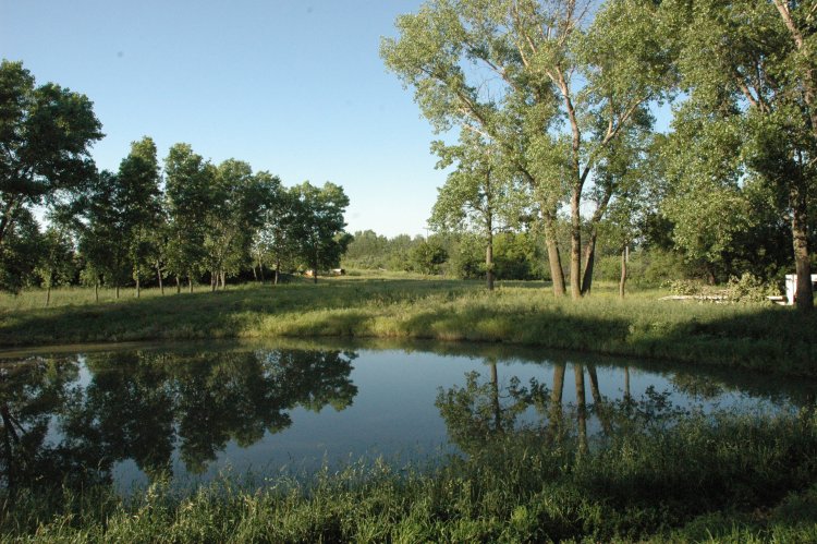
June 9, 2007: Rural Lincoln,
Nebraska
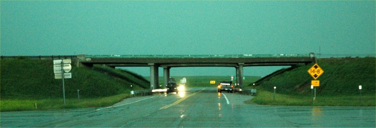
June 6, 2007. Cars parked
under the Interstate overpass during a tornado warning.
DON'T DO THIS,
it is more dangerous under the
overpass than you might imagine.
See these articles:
http://www.weathersafety.ohio.gov/tornadoeshighway.aspx
http://www.usatoday.com/weather/resources/basics/tornado-underpass.htm
http://www.srh.noaa.gov/oun/papers/overpass.html
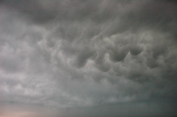
June 6, 2007. A day of
storms in north central Nebraska.
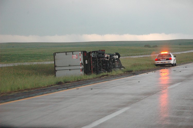
June 6, 2007. Strong winds
from the storm blew this semi over on its side.
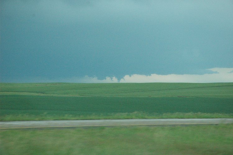
June 6, 2007. A tornado
warned storm.
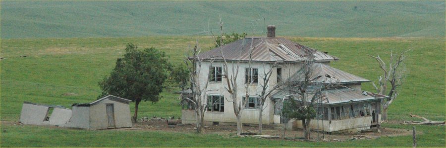
June 6, 2007. This Sandhills
abandoned home must have been quite glorious in its day.
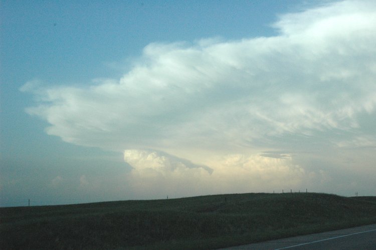
June 6, 2007. As night
falls, storms continue to build over Ainsworth, NE.
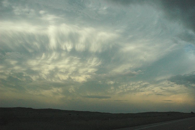
June 6, 2007.
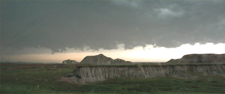
June 6, 2007. Storms from
north central Nebraska begin to spread into the Badlands of SOuth Dakota
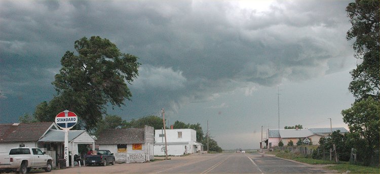
June 6, 2007.
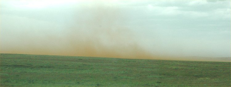
June 6, 2007. Blowing dust
in the Sandhills of Nebraska feed into a nearby thunderstorm.
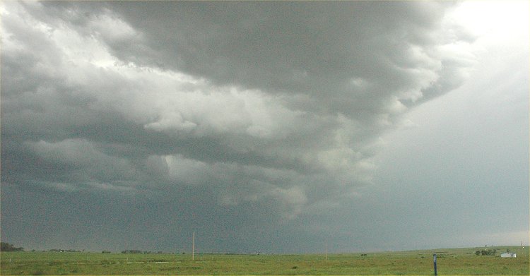
June 6, 2007.

June 6, 2007. Blowing dust
feeding into a nearby thunderstorm.
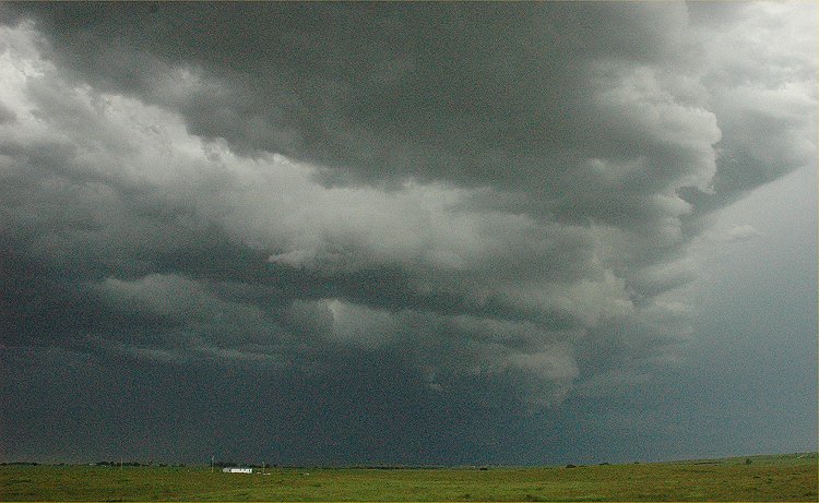
June 6, 2007.
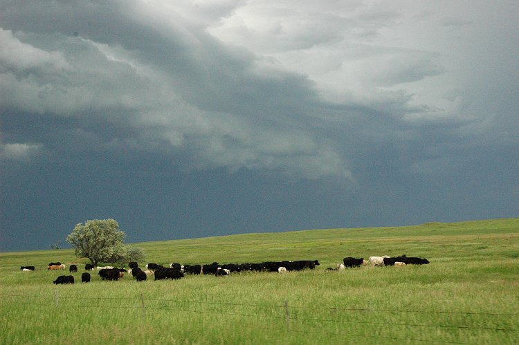
June 6, 2007. Recent rains
have left the Sandhills region very green as another storm approaches the
area.
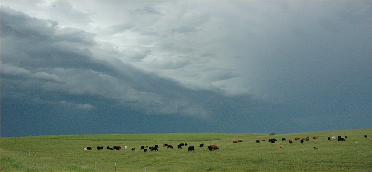
June 6, 2007.
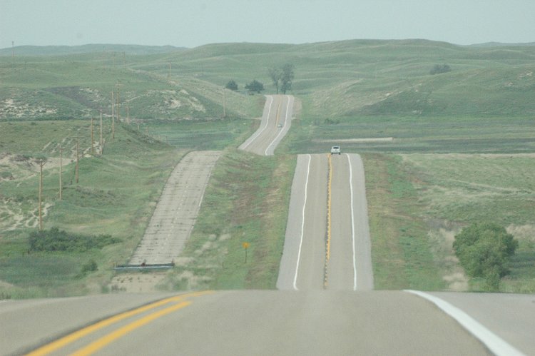
June 6, 2007. Nebraska
Highway 83 between Thedford and Valentine.
A section of the old Hwy. 83
is partially visible on the left.
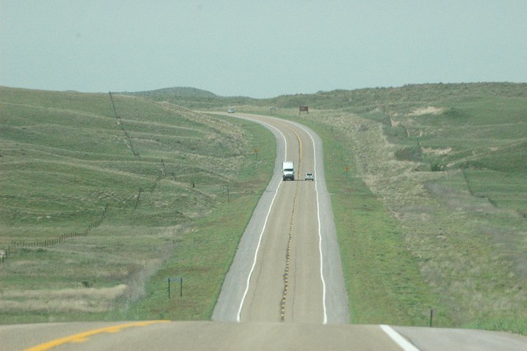
June 6, 2007. Nebraska
Highway 83 between Thedford and Valentine.
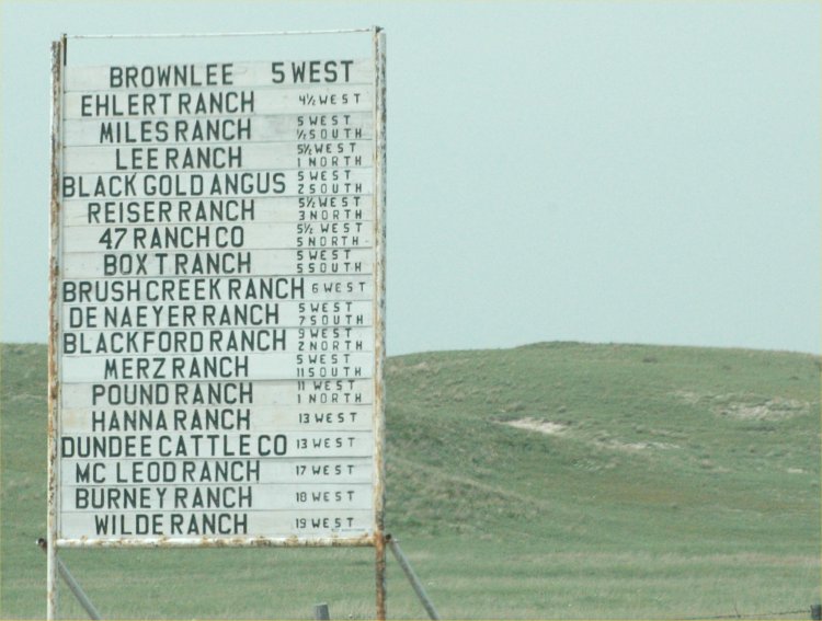
June 6, 2007: A sign
along Nebraska Hwy. 83 listing the nearby ranches in the Sandhills.

June 6, 2007: Blowing dust
along Hwy. 2 in central Nebraska.

June 6, 2007: Approaching a dust
storm along I-80 in Nebraska.

June 6, 2007: Visibility
is limited due to blowing dust along I-80 in central Nebraska.
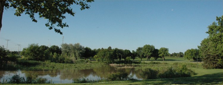
June 5, 2007: Holmes Lake
Park, Lincoln, NE.
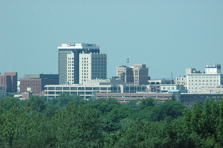
June 5, 2007: Downtown
Lincoln viewed from the High Plains Regional Climate Center

June 5, 2007: UNL stadium
skyboxes viewed from the High Plains Regional Climate Center.
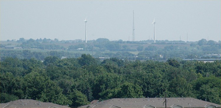
June 4, 2007: Looking northeast
from the High Plains Regional Climate Center with a telephoto lens
at the two wind generators just
north of I-80 in Lincoln. Tropical moisture in the air is causing
the haze.

June 3, 2007: Warm and
sunny with afternoon cumulus clouds and showers.

June 2, 2007: Rural Lancaster
County, Nebraska.
Return to: The Photo Gallery Index Page