Water Begins to Flow Again in The Platte River
Grand Island, NE.
All Images this page: © Ken Dewey, School of Natural Resoruces, UNL
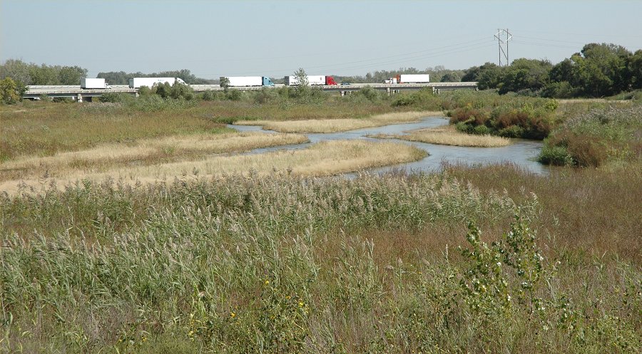
Looking north at the I-80 bridge
over the Platte River. When full. the river would fill the entire
view.
Note the
large amount of vegetation which has taken over the river bed due to low
and non-existent flow during the past 4 years.
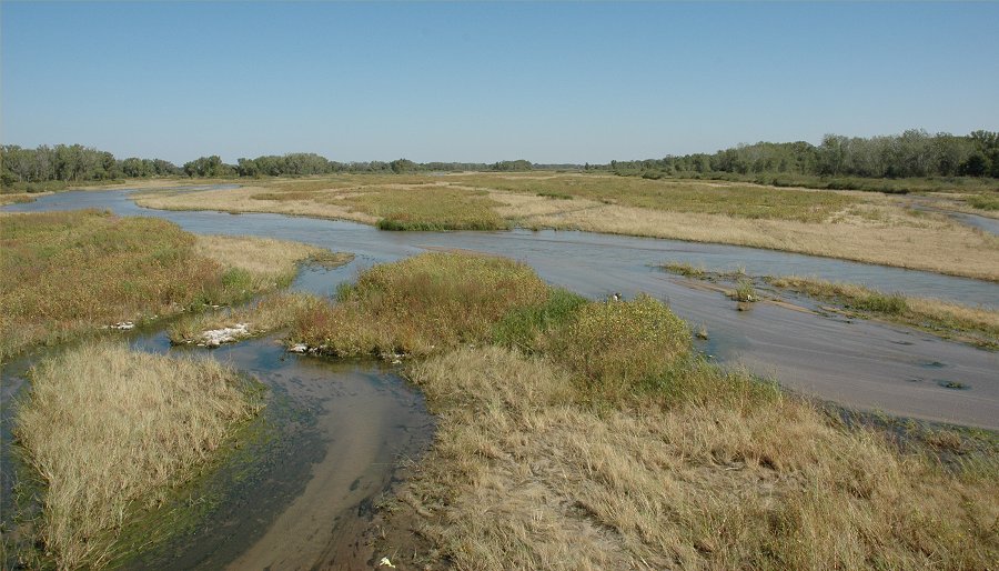
The Platte River, northeast of
Grand Island. This flow is about 90 cubic feet per second.
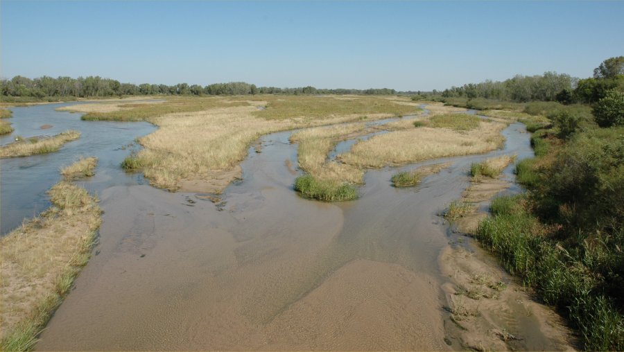
The Platte River, northeast of
Grand Island.
The
Platte River discharge, July 27, 2001 through September 27, 2006.
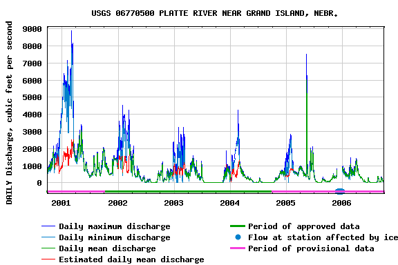
The
Platte River at Grand Island ran dry ( 0 on the graph) in the
summer
of 2002, 2003, 2004, 2005 and this summer 2006.
The Platte River discharge, July 27, 2005 through September 27, 2006.
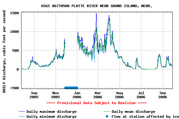
Note
that the flow in the river began in late August last year (2005) and continued
until
June of this year (2006). A regional rainfall in June caused the
river to temporarily
flow
again. Rainfalls in late August, and a drastic reduction in use of
crop irrigation, have
allowed
the river to return to continue a daily flow again.
The
Platte River discharge, July 27, 2006 through September 27, 2006.
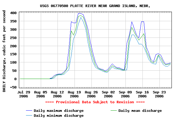
The
Platte River at Grand Island began flowing again on August 9.
The
two spikes represent rainfall events with short term discharge increases.
Return to: The Photo Gallery Index Page