Central Nebraska and Eastern Nebraska - June 2007
All Images © Ken Dewey
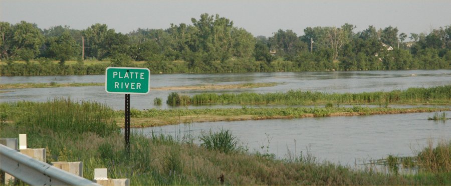
June 16, 2007: The Platte
River at the Highway 34 bridge just east of Grand Island, Nebraska.
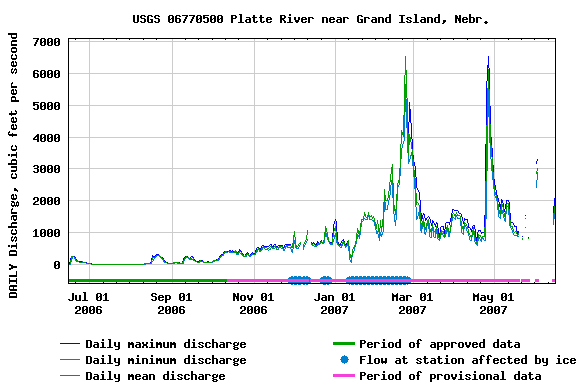
Platte River discharge June 16,
2006 through June 16, 2007.
Note the huge discharges in late
February caused by the annul snow and ice melt and in late April 2007 due
to several heavy rainfall events.
The current discharge is still
below average but higher than last year at this time (note the statistics
below).
Daily
discharge statistics, in cfs, for June 16, 2007, based on 64 years of record.
Minimum
Discharge 0 cfs in 1956
Most
Recent Discharge (June 16, 2007) 2120 cfs
Last
year (June 16, 2007) 89 cfs
Mean
June 16: 2510 cfs
Max
flow June 16: 19,600 cfs in 1983.
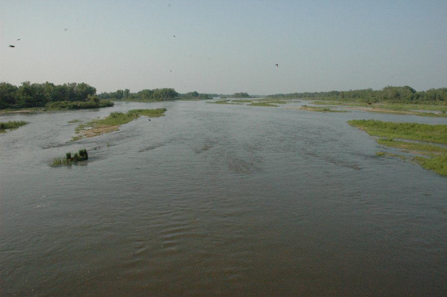
June 16, 2007: The Platte
River just east of Grand Island, NE.
Looking Northeast from the Hwy.
34 bridge.
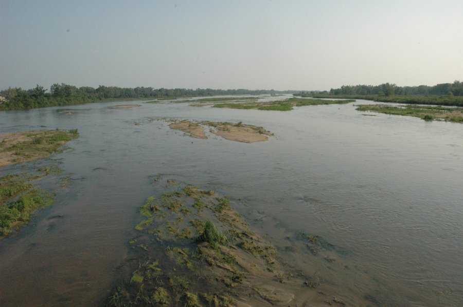
June 16, 2007: The Platte
River just east of Grand Island, NE.
Looking Southwest from the Hwy.
34 bridge.
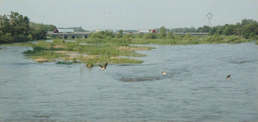
June 16, 2007: Looking
northeast where the Platte River flows under the I-80 Bridge south of Grand
Island, NE.
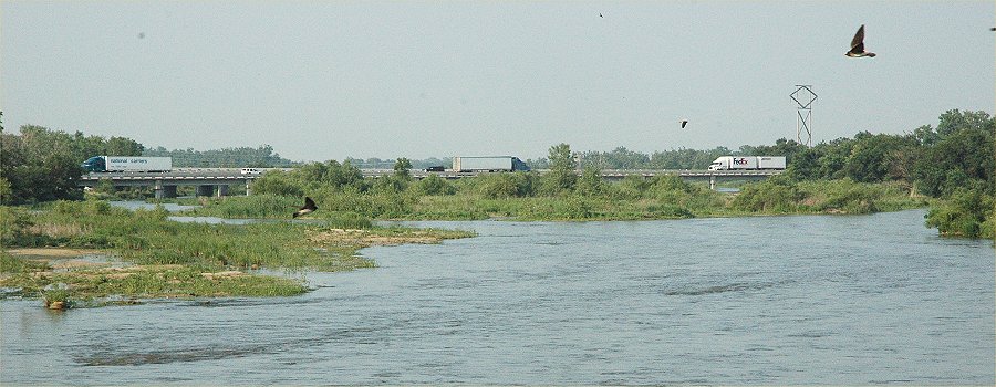
June 16, 2007: Looking
northeast where the Platte River flows under the I-80 Bridge south of Grand
Island, NE.
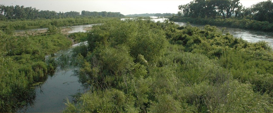
June 16, 2007: Looking
southwest from where the Platte River flows under the Locust Street bridge,
about 1/2 mile south of I-80.
Note how clogged the channel
is with bushes and vegetation that have taken root in the channel during
the low flow of the past 7 years.
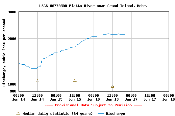
Platte River discharge, near Grand Island, NE, for the period June 14-16, 2007.
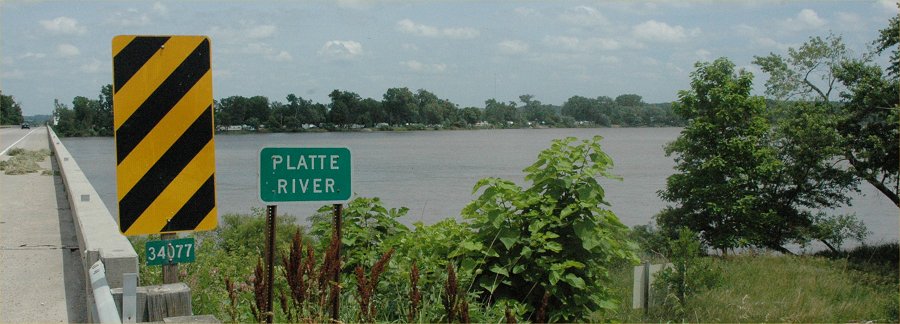
June 17, 2007: The Platte River
at the Hwy. 6 bridge near Ashland, Nebraska
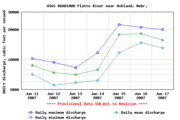
Platte River discharge, near Grand Island, NE, for the period June 11-17, 2007.
June
17, 2007 Statistics:
June 17, 2007: 12,500 cfs
Min (1989): 2240 cfs
Mean: 12,600 cfs
Max: (1990) 62,700 cfs
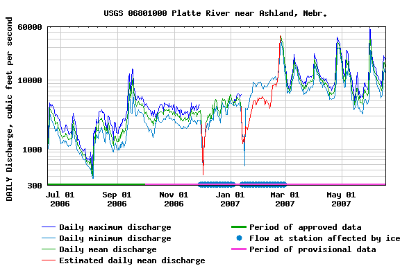
Platte River discharge, near Grand Island, NE, for the period June 17, 2006 - June 17, 2007
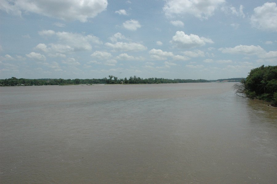
June 17, 2007: The Platte River,
looking upstream from the Hwy. 6 bridge near Ashland, Nebraska
Return to: The Photo Gallery Index Page