Images © Ken Dewey, School of Natural Resources, UNL.
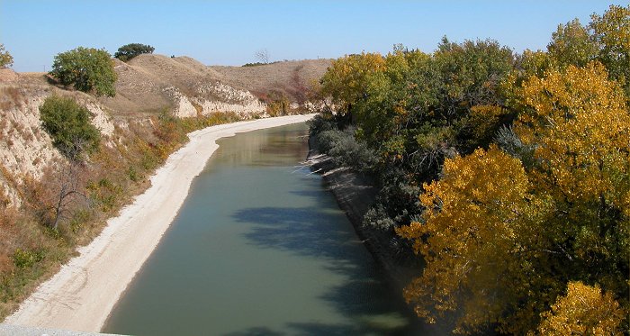
The Tri-County Canal is quite
low in water just south of Lexington.
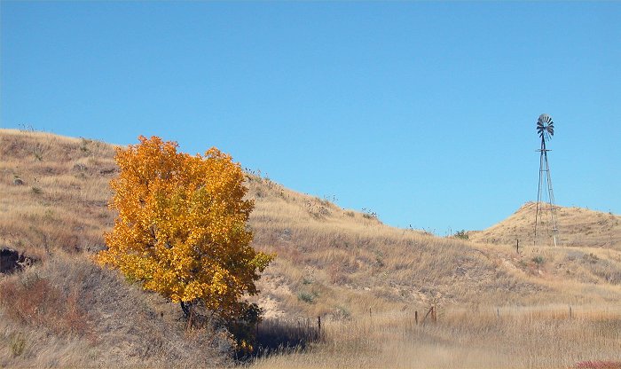
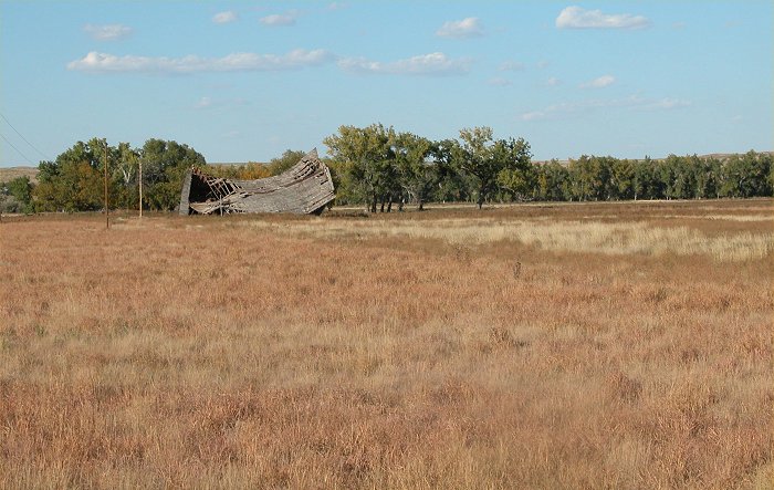
This drought stricken pasture
land near Arapahoe is in stark contrast to the one golden tree.
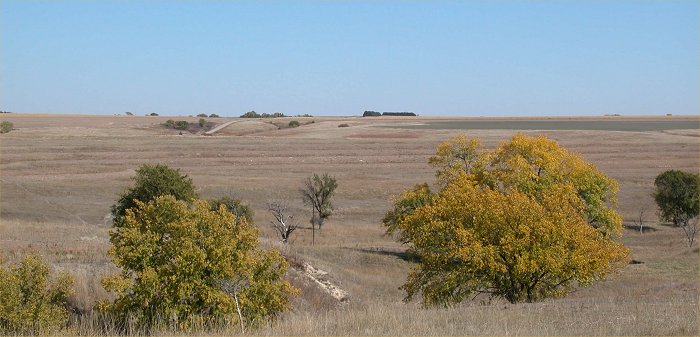
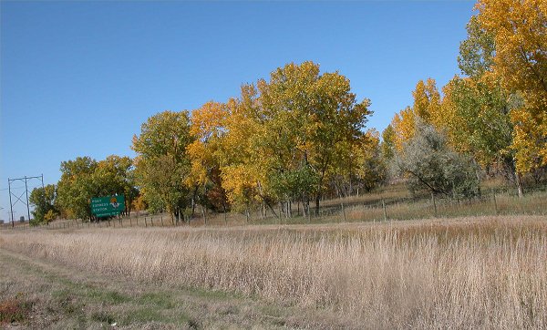
Note The brown pasture near Arapahoe,
Nebraska,
looking like mid winter, yet
the green trees indicated otherwise.
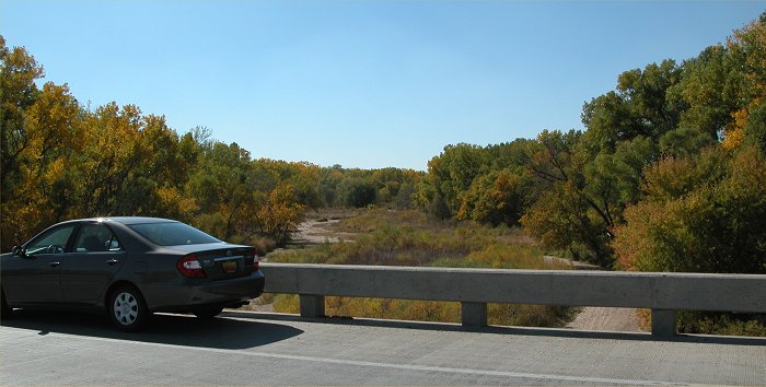
The
Republican river, south of Arapahoe has been dry now for two years.
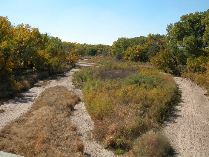
The
Republican river bed, south of Arapahoe is now covered with grasses and
small shrubs.
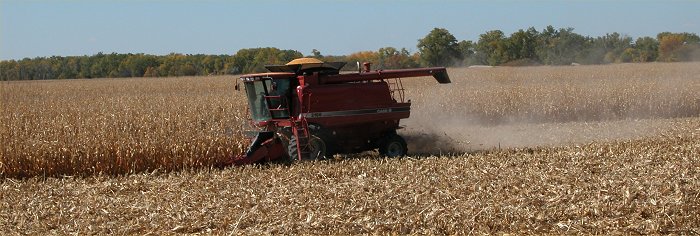
Harvesting
a drought stunted crop in southwestern Nebraska.
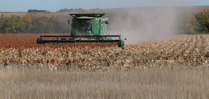
Harvesting
a drought stunted crop in southwestern Nebraska.
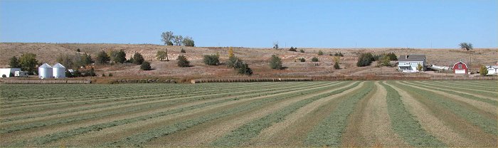
There
was barely any hay to harvest in this field near Haigler, Nebraska
(far
southwest Nebraska)
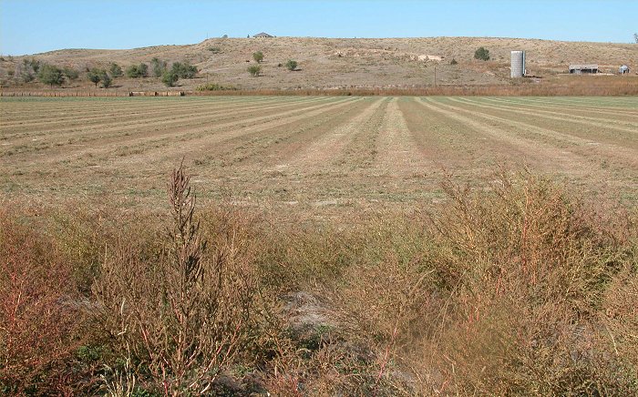
There
was barely any hay to harvest in this field near Haigler, Nebraska
(far
southwest Nebraska)
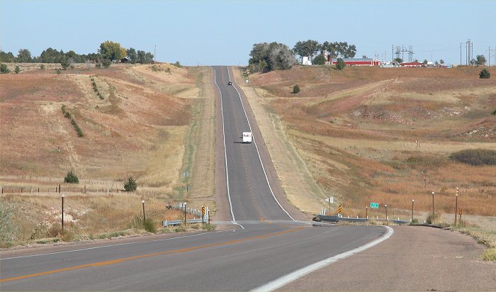
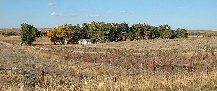
Except
for the green of a few trees, this part of Nebraska (far southwest
Nebraska)
appears quite parched.
A
similar scene of parched landscape in southwest Nebraska,
contrasting
with the green of the trees.
A
similar scene of parched landscape in southwest Nebraska,
contrasting
with the green of the trees.
Photographed
near the Colorado Nebraska border along U.S. Highway 6,
the
landscape is parched and totally brown with the exception of a few green
trees
in the distance.
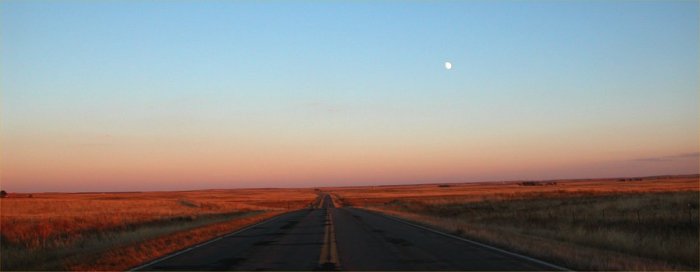
Photographed
in eastern Colorado Photographed along U.S. 6. Note
the
moon to the right of the highway looking east as the sun sets.
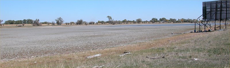
Barr
Lake in Colorado, just east of Denver is at less than 50% of capacity.
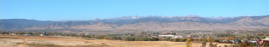
The
Colorado Front Range, near Boulder, Colorado, seen here in mid-October,
is
almost completely devoid of snow.
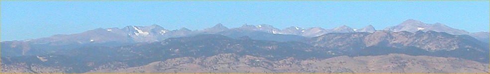
A
closer view of the Colorado Front Range, near Boulder, CO, in mid-October.
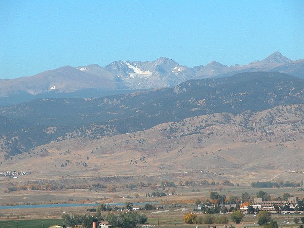
A
closer view of the Colorado Front Range, near Boulder, CO, in mid-October.
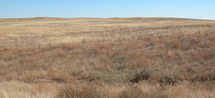
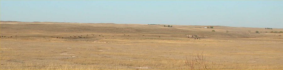
A
view of the pasture land in northeast Colorado (near the Nebraska border
on I-76), in mid-October.
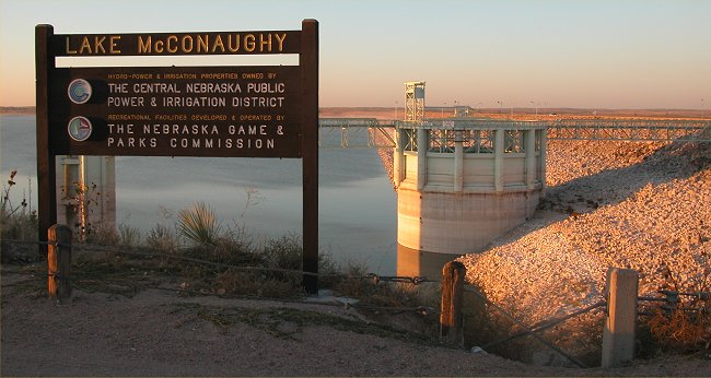
A
view of the dam and water intake at Lake McConaughy.
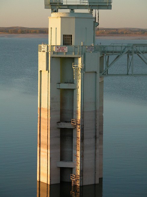
A
view of the water intake at Lake McConaughy, note the brown stain on the
structure
to see how high the water is normally.
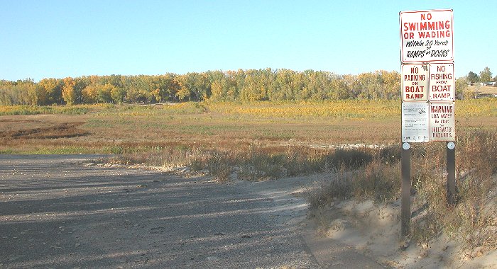
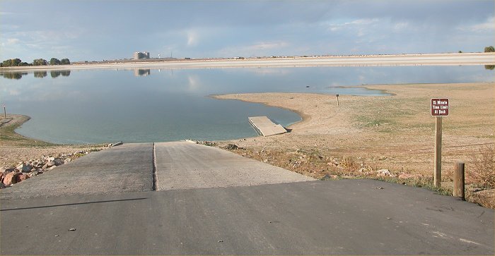
A
view of the western portion of Lake McConaughy. Note that this is
the boat
ramp
into the lake and that the lake is gone with grasses where it was once
water.
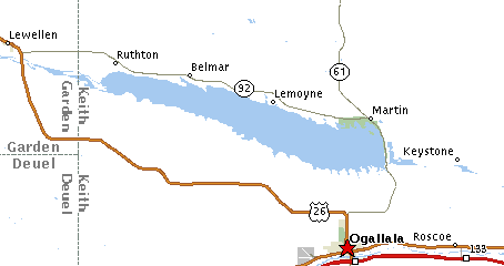
THIS
IS JUST EAST OF BELMAR -
NOTE REFERENCE MAP JUST BELOW HERE.
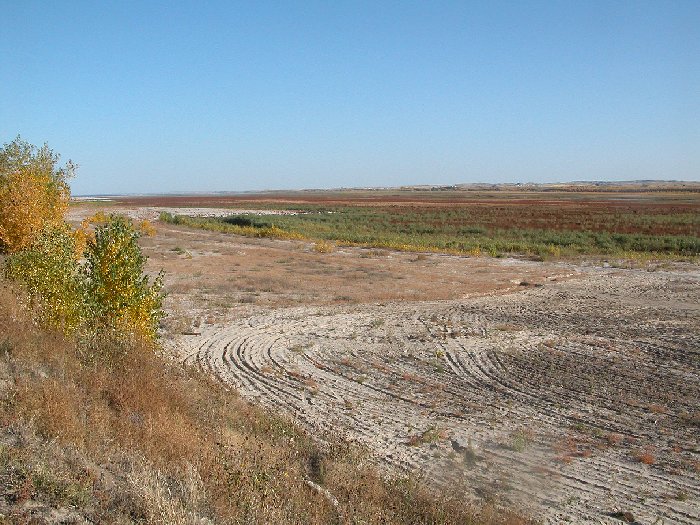
A
view of the western part of Lake McConaughy
AT
THE BELMAR MARINA - NOTE REFERENCE MAP JUST ABOVE THE IMAGE.
This
entire area is normally under water that extends into the distance and
is normally bounded by the distant hills.
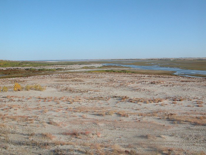
A
view of the western portion of Lake McConaughy.
AT
LEYMOYNE - NOTE REFERENCE MAP JUST ABOVE THE IMAGE.
Note
the small trickle that continues to come into the lake which has now retreated
well off into the distance
(note
the sliver of blue in the left center of the photo). The foreground
is normally all under water.


 10/27/2003
- 11:10:43 PM
10/27/2003
- 11:10:43 PM