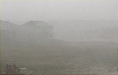
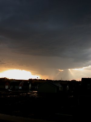
After setting a record high of 93 F, a line of severe thunderstorms
passed over Lincoln Nebraska during the early evening hours.
Link
to map showing precipitation totals across Nebraska
All Images
© Ken Dewey, School of Natural Resources, UNL
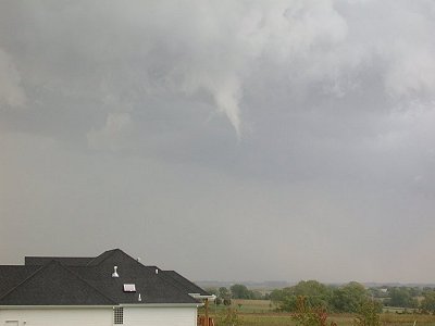
A funnel
cloud, slowly rotating, passes over far southeast Lincoln
during
the evening of October 1, 2002.
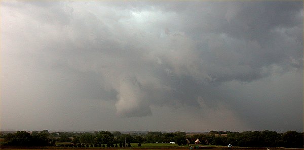
Looking
east into the rural area on the southeast edge of Lincoln, a wall cloud
began to
rotate
and push downward toward the ground.
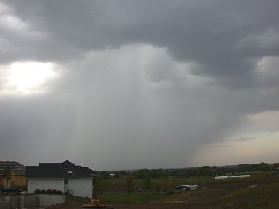
A swath of hail was being laid
down under the center of the
cloud structure shown in this
photo.