![]()
Our team
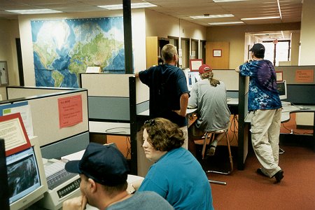
of 6, with two chase vehicles, left Lincoln, NE and drove to Kearney, NE
where we
stopped at the University of Nebraska-Kearney library to
go over
the forecast products available on the Internet.
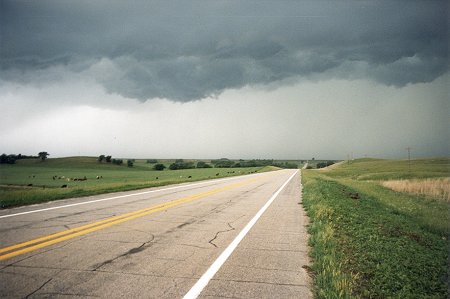
By early
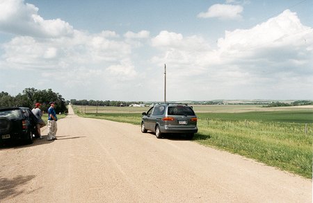
afternoon there was still a "whole lot of nothing going on". We
anticipated
initiation of supercells within the hour so we left and positioned
ourselves
90 miles south of Ainsworth, NE.
Finally,
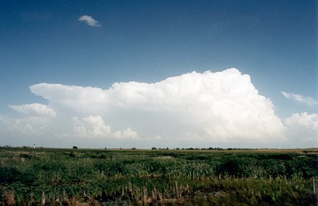
at about 3 PM, cumulus clouds began breaking through
the lid.
SPC issued a tornado watch for north central Nebraska.
We headed
north toward Ainsworth, NE.
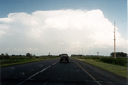
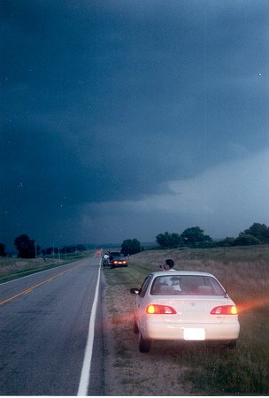
As we approached
the first supercell just outside Bassett, NE it began
to fall
apart as it moved at 35 mph toward the South Dakota border
We positioned
ourselves northeast of Bassett, NE as a second
supercell
which blew up over Ainsworth headed in our direction.
SPC issued
a severe thunderstorm warning for the area.
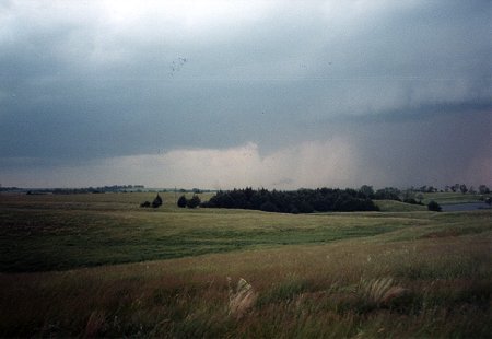
At 8:26
PM NWS North Platte issued a tornado warning for
Rock and
Keya Paha counties. A tornado was observed on
the ground
12 miles east of Ainsworth,NE and 6 miles northeast
of Long
Pine, NE. The developing tornado can be seen below
to the
left of the rain shaft.
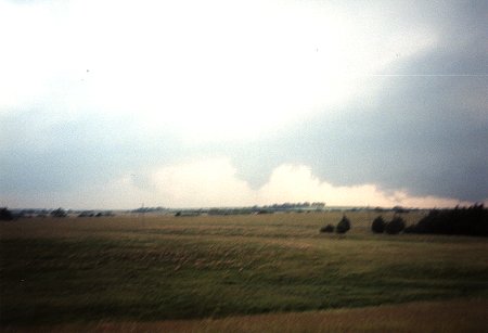
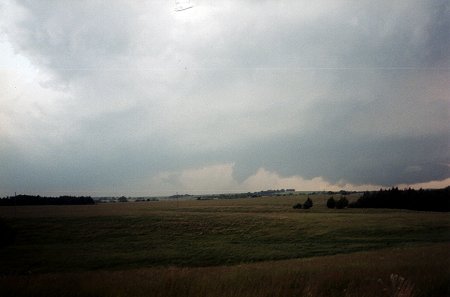
photo by Walker Ashley. One
of our teams moved around to the northeast
portion
of the storm where these photographs were taken just before sunset.
The
other team
moved around to the southwest side of the storm and took video of
the tornado.
By now
the sun had set. Listening to the scanner we learned
that the
tornado had knocked out some power lines and
destroyed
a storage bin.
There were
probably a dozen storm chasers congregated
along Nebraska
Highway 137 as the tornado lifted back into
the mesocyclone.
Doppler on Wheels, Jim Leonard, as well as
the Weather
Channel were parked along side this road. Several chasers
remained
for awhile to photograph the lightning and the day's chase was now over.
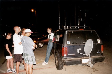
Many of
the chasers then moved on to Spencer to re-fuel.
Here, Gene
Rhoden, visits with some of Paul Sirvatka's students.
Note Gene's
satellite dish mounted on the back of his SUV.
He uses
it to view the Weather Channel during his chases.
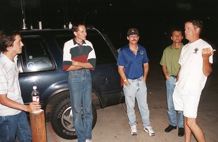
Jim Leonard,
on the right, one of the most successful chasers also
showed
up and described some of his recent chase experiences.
Return to: The Photo Gallery Index Page