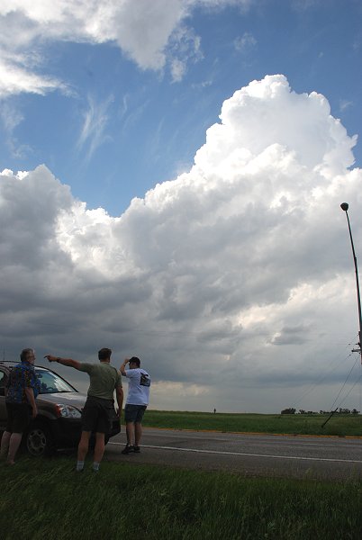
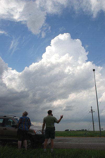
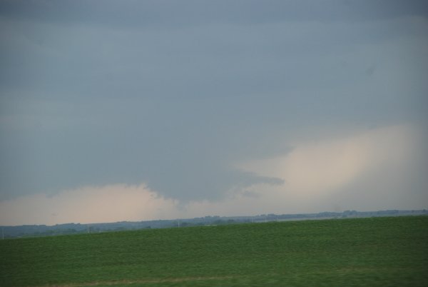
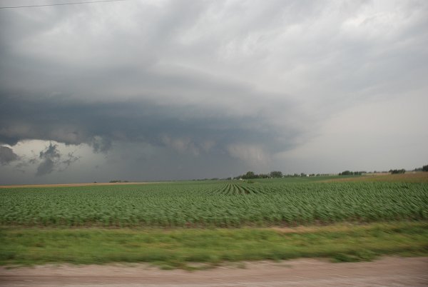
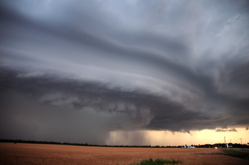
We started the storm chase in north of Lincoln and west of Omaha
Storms in the Heartland - June 11-12, 2008
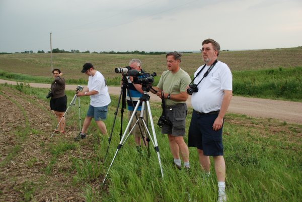
On the Road with the Nebraska Vortex Intercept Team
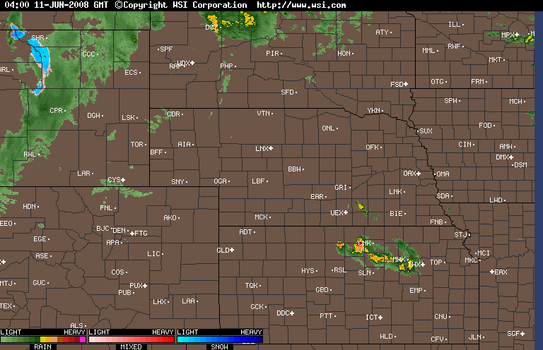
note the radar loop at the bottom
We started the storm chase in north of
Lincoln and west of Omaha
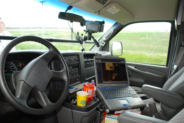
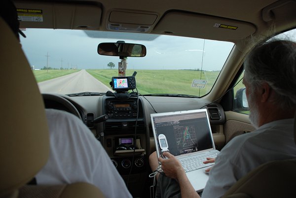
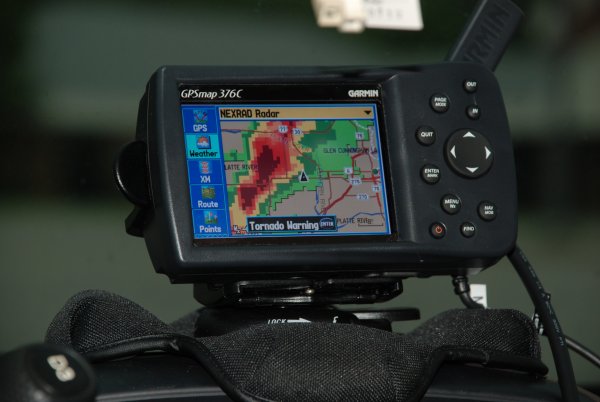
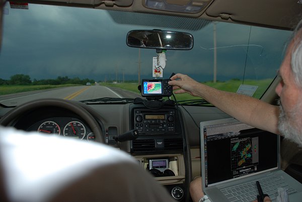
This is our dashboard live radar that we have in
our vehicle to help keep us safe. Note the black arrow, that is our car
location.
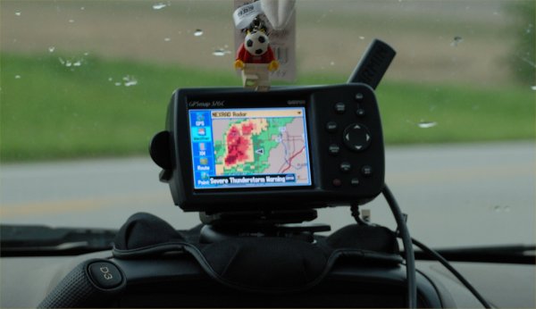
Note the dashboard radar in the car. The
black arrow on the screen shows our location as storms rapidly grow in the area.
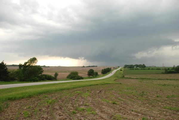
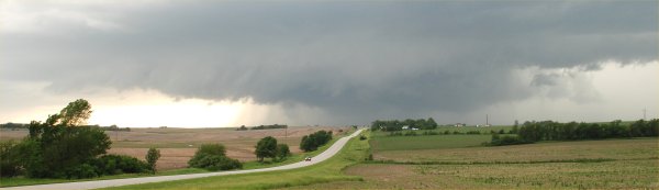
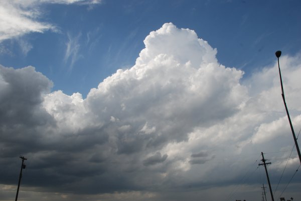
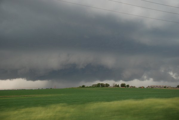
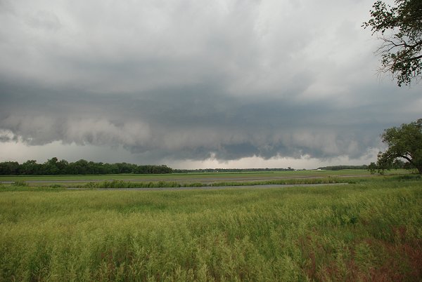
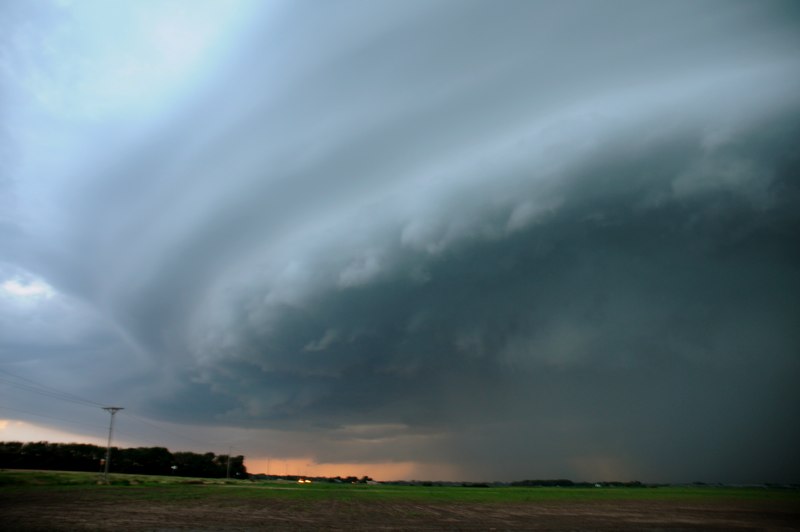
Note that we are safely off of the highway on a
hill where we can photograph the tornado warned storm.
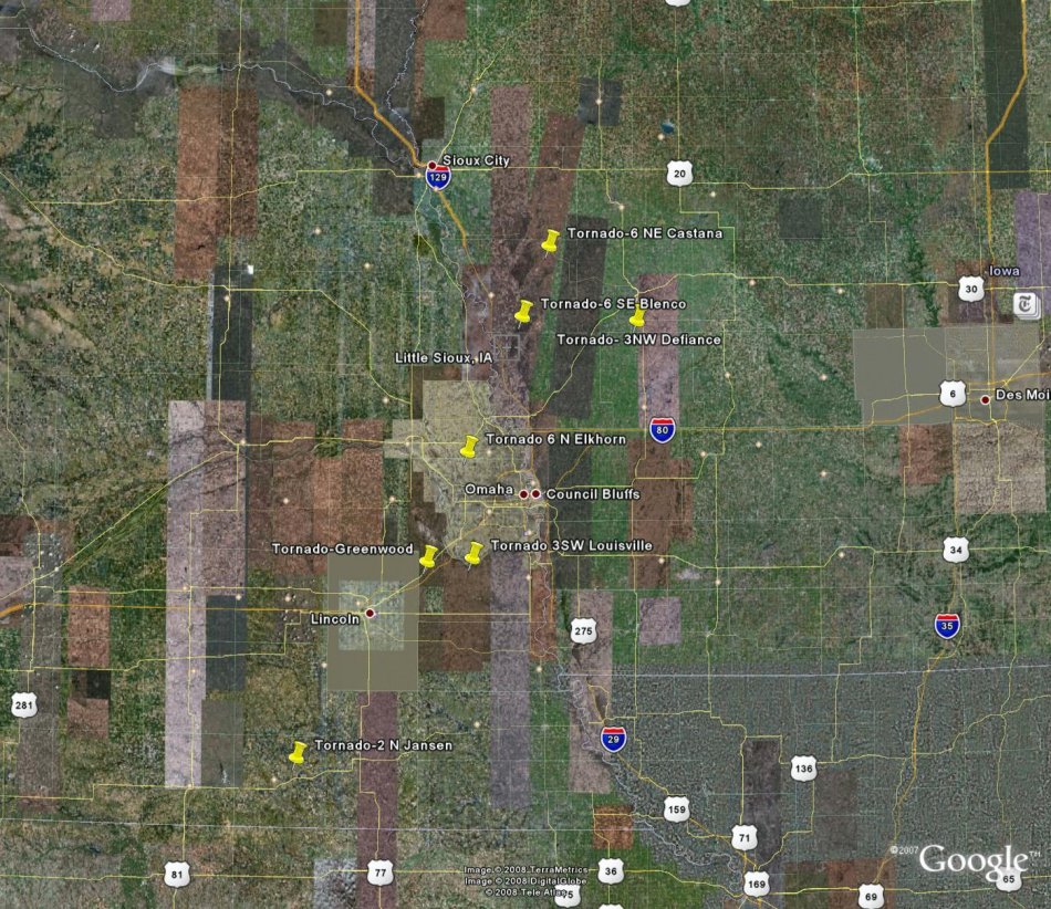
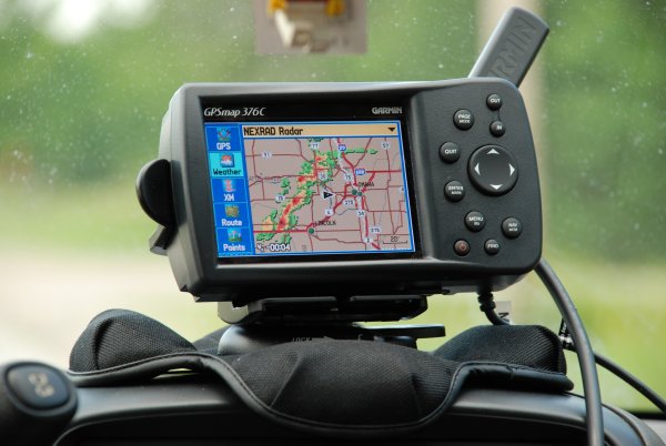
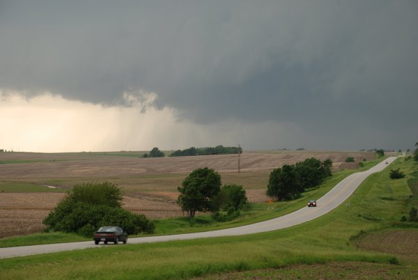
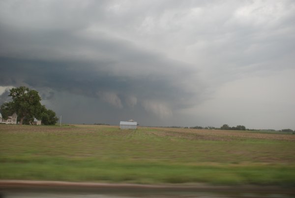
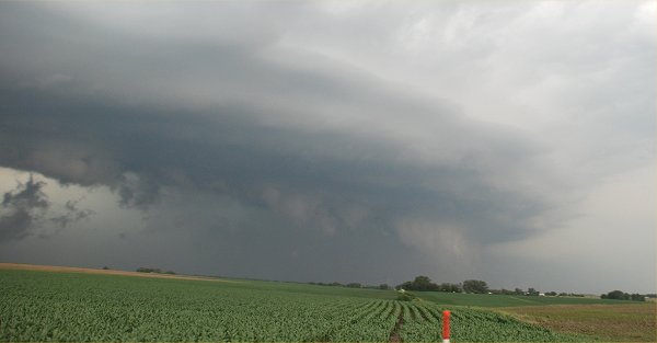
We are now headed up into northeast Nebraska toward
Blair, NE.
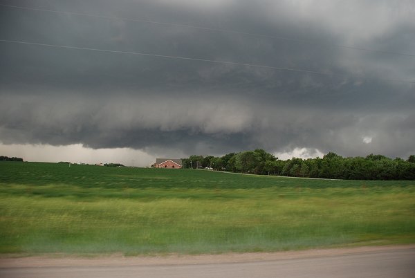
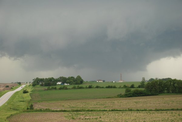
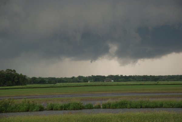
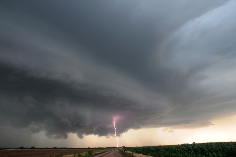
Note the black arrow indicating our location and
the large tornado warned storm to our west.
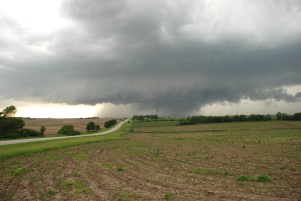
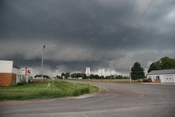
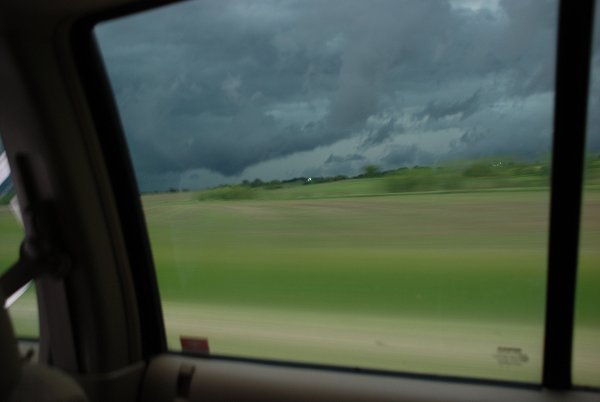
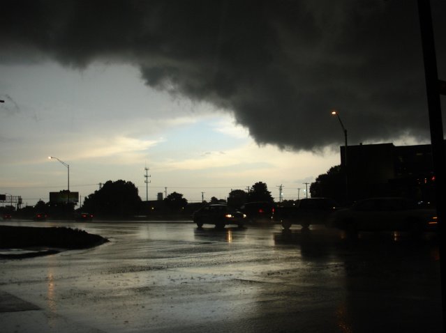
Note the radar
image showing the huge storm centered over Lincoln. We are east of Lincoln on
165th street and Hwy 6.
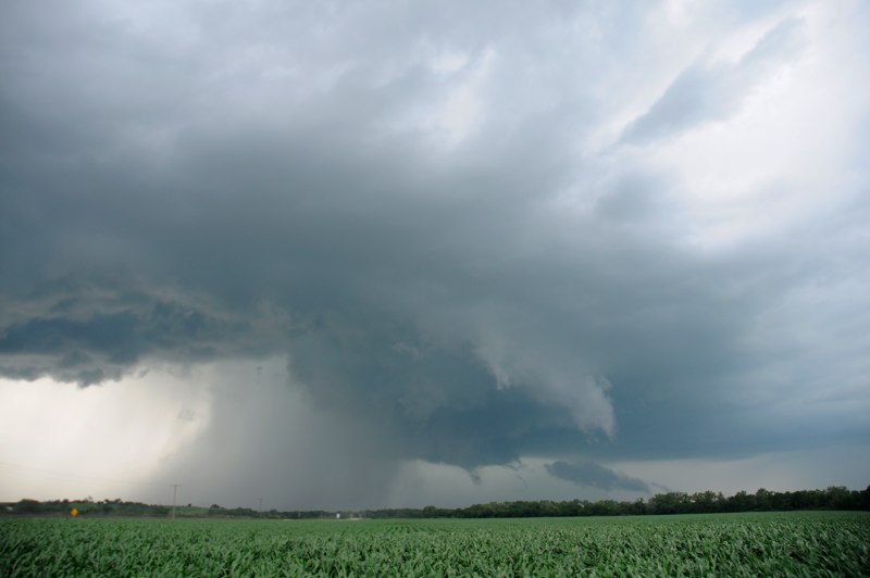
The storm had become outflow dominant with very heavy rain so we then diverted
around the south side of Lincoln and
headed down toward the Nebraska/Kansas line to intercept those tornado warned
storms.
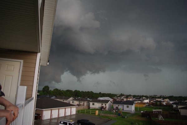
Some photos in Lincoln by NEVIT member Melissa.
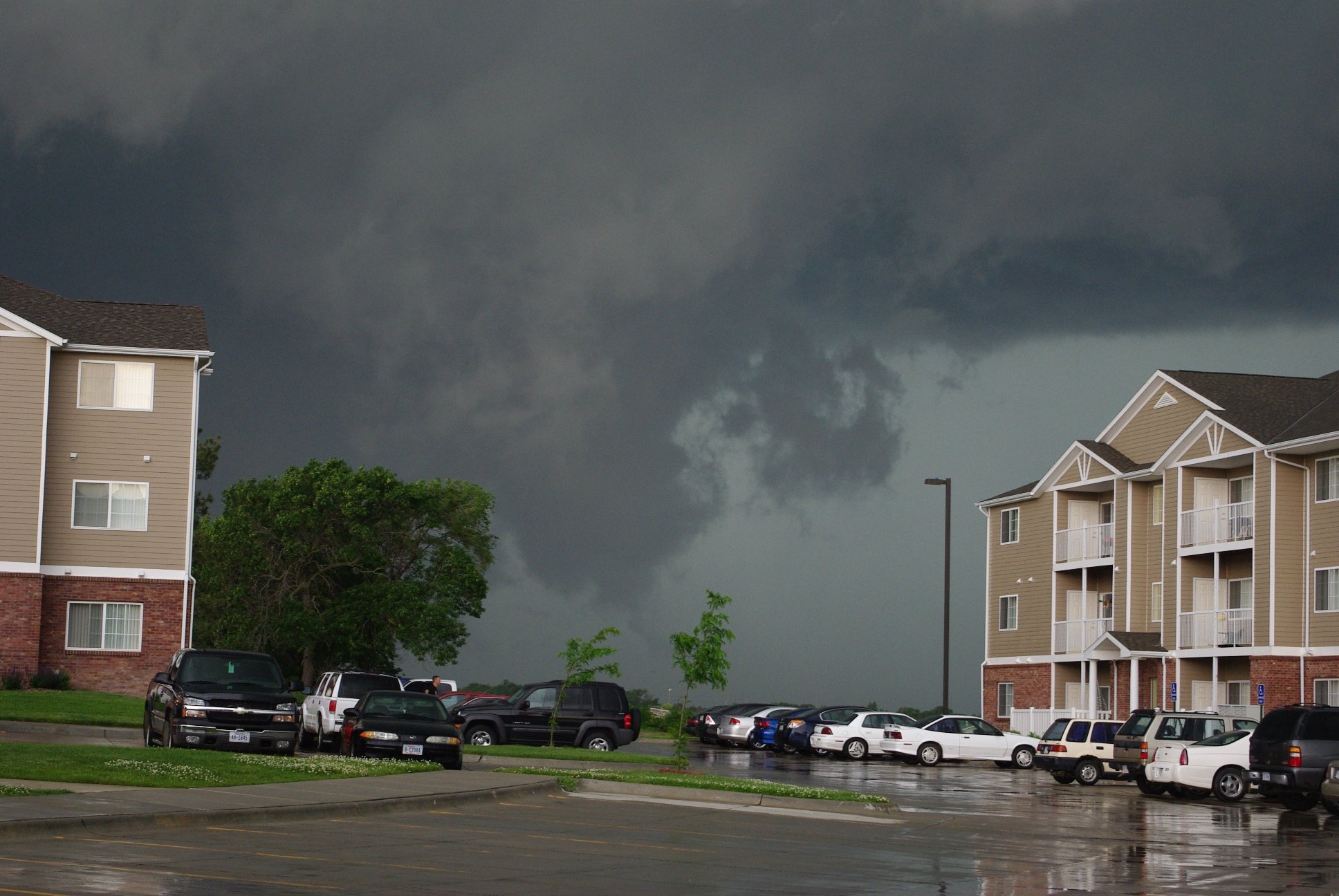
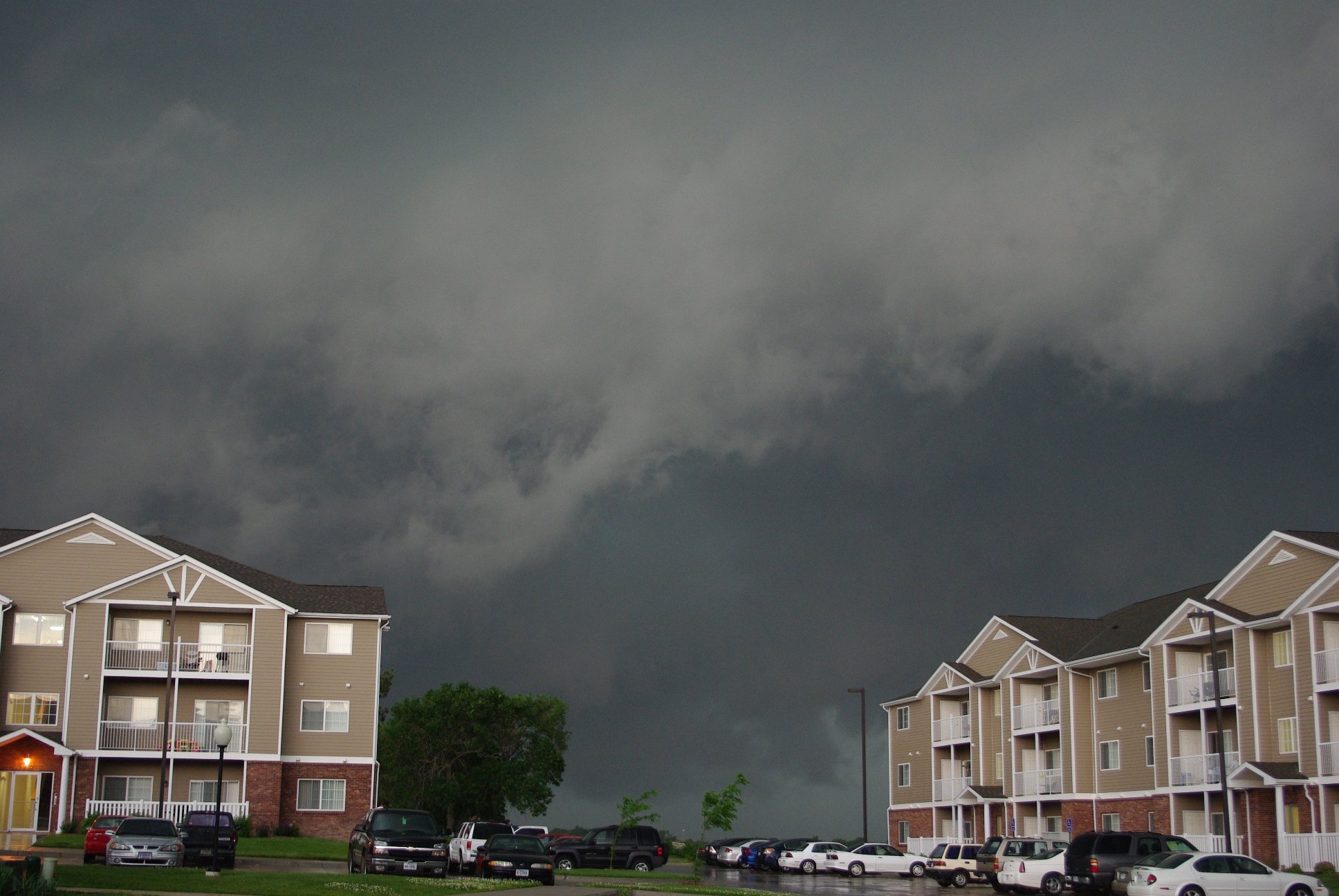
The next photos is from Bonnie Callahan a Lincoln resident.
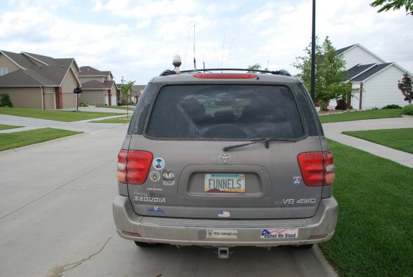
Note the personalized license plate of a colleague
who joined our group from Arizona.
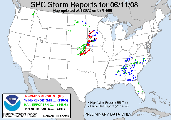
The tornado producing storms are at the end of the radar loop.