

the end of pavement
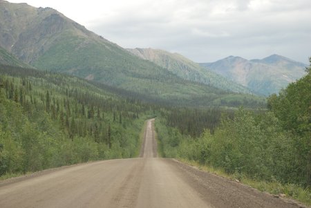
up a narrow gravel road through a forest.





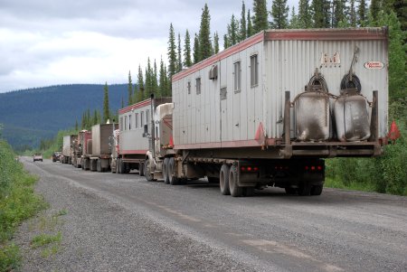
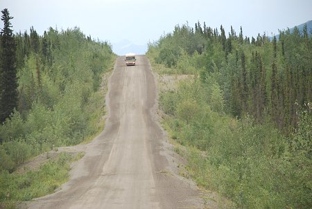
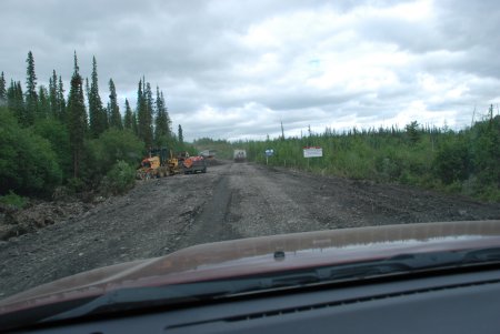
Most of the traffic was trucks moving supplies up north



The Dempster Highway (Northbound), Yukon and Northwest Territories Canada - Summer 2008
ALL Photos © K. Dewey, School of Natural Resources, Applied Climate Sciences, UNL.
Photo Set One
 |
 |
| Just outside Dawson, Yukon at the start northbound of the Highway | 450 miles (747 km) ) of wilderness driving. |
 |
 |
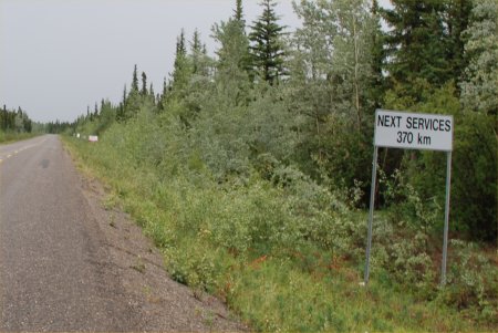
| Mile 0 of the Highway with Mammatus clouds and a thunderstorm! | No gasoline for 370 kilometers!! |
 |
 |
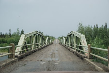
| A narrow wooden bridge 3 miles along the
highway, the end of pavement |
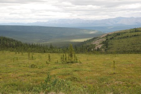
With a mountain range barely visible in the
distance, we head up a narrow gravel road through a forest. |
 |
 |
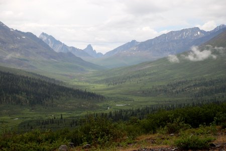
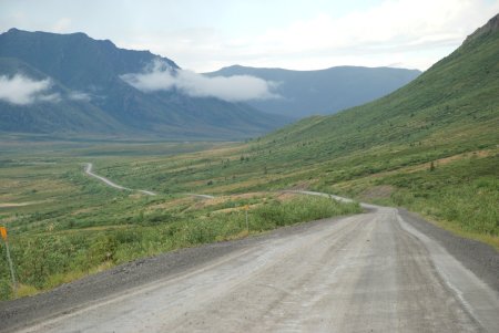
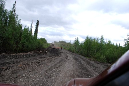
| A very muddy road with lots of potholes | The road climbs into mountains about 45 minutes into the drive |
 |
 |
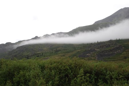
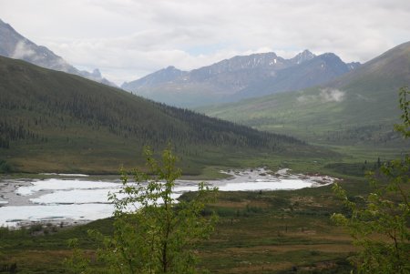
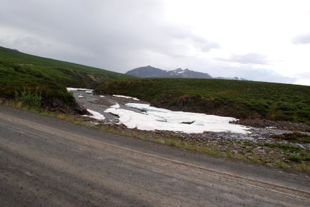
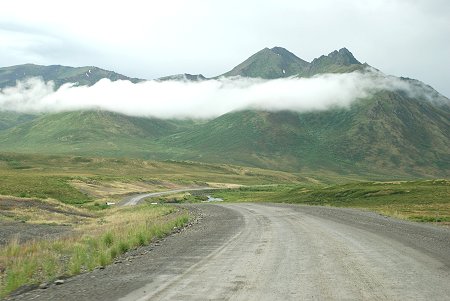
| it was cloudy, but that is typical for this area in the summer | some remaining ice in a river next to the highway |
 |
 |
| Although it was early July, the mid-day temperature was only 48 F | This area is cloudy about 85% of the time in Summer |
 |
 |
| more left over winter snow and ice as we reach the Tundra | A thaw lake. Permafrost has been melting rapidly the last decade |
 |
 |
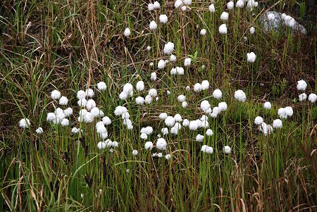
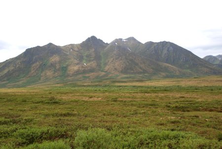
| Tundra flowers | the tree line is below this elevation so it is all Tundra and permafrost |
 |
 |
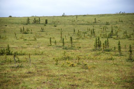
| Tundra vegetation | although the surface is thawed, permafrost is just below the surface |
 |
 |
| the fragile Tundra vegetation | only a few trees survive this far north |
 |
 |
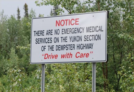
| Just had to stop and take a photo of the sign :) | A traffic jam on the Highway. Most of the traffic was trucks moving supplies up north |
 |
 |
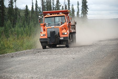
| Note the large size rocks, we pulled over often to avoid flying rock | The dust is a nuisance and a hazard along the highway |
 |
 |
| The road was washed out here 2 days earlier due a thunderstorm | this was very primitive driving conditions along the highway |
 |
 |
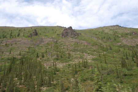
| A slight increase in elevation brought us above the tree line again | Small old trees which grow only slightly each brief summer |
 |
 |
| A few trees trying to survive in the Arctic Tundra | Some Tundra vegetation |