 |
 |
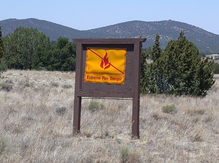
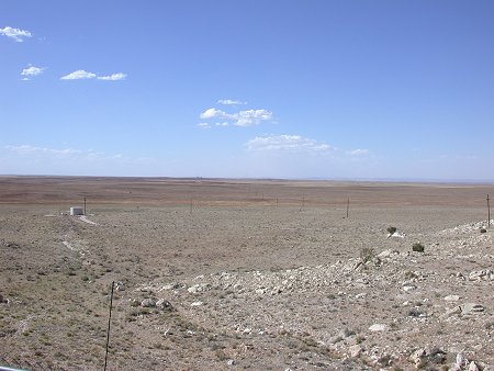
North of Williams AZ, en-route
to the Grand Canyon, a
sign warns of the extreme fire
danger. The ground
cover was extremely dry.
|
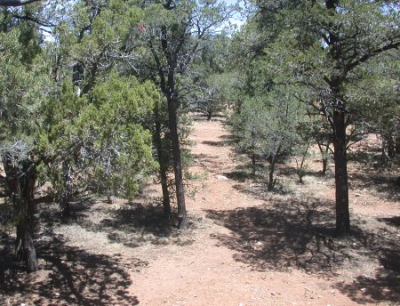
Inside the Grand Canyon,
the grassy ground cover had
died back to the ground surface
leaving with less
than an inch of rain since January
1.
|
 |
 |
|
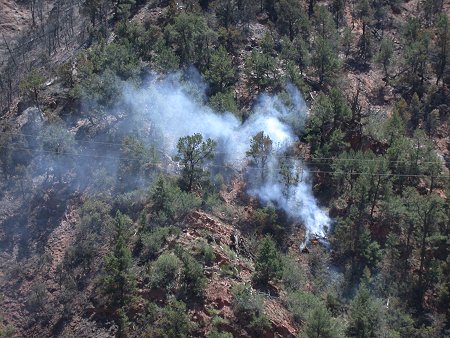
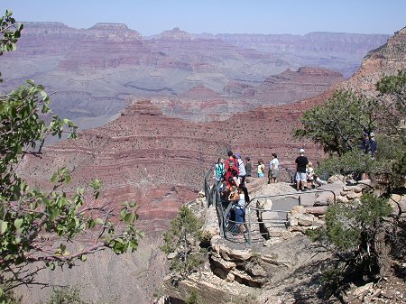
Click HERE
on the photo for a much larger version. Tourism numbers were
down only slightly from the year before despite the drought and high fire
danger.
|
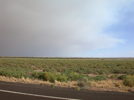
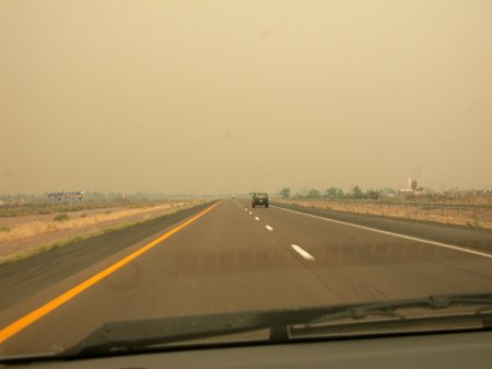
June 21, 2002, along I-10
midway between Flagstaff
and Winslow, AZ. Looking
west, the landscape is
arid and the sky clear.
|
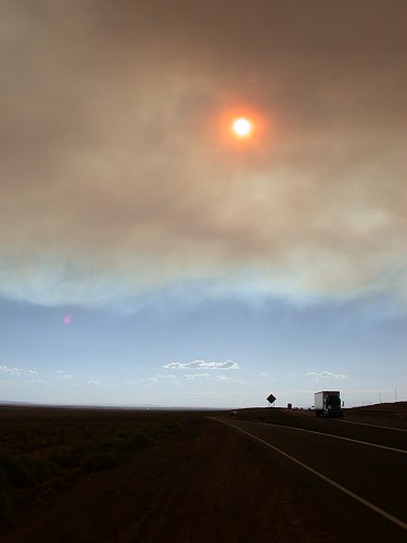
 June 21, 2002, along I-10
midway between Flagstaff and
June 21, 2002, along I-10
midway between Flagstaff and
Winslow, AZ and looking southeast.
Appearing like the edge
of a cloud mass from a storm,
the smoke from the
Show Low fire spreads northward.
The photo to the right was taken
a few more miles to the
east and looking back west at
the edge of the smoke.
The mid-afternoon sun takes on
a strange appearance as
it shines through the advancing
smoke layer.
|
|
 |
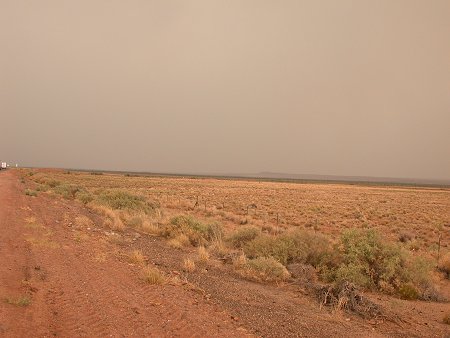 |
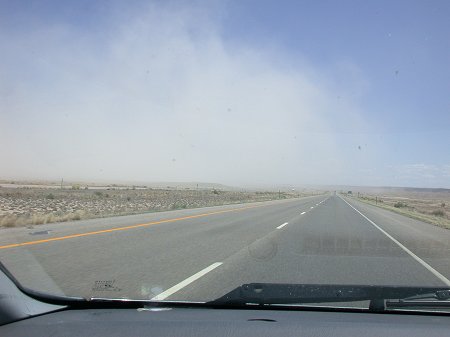
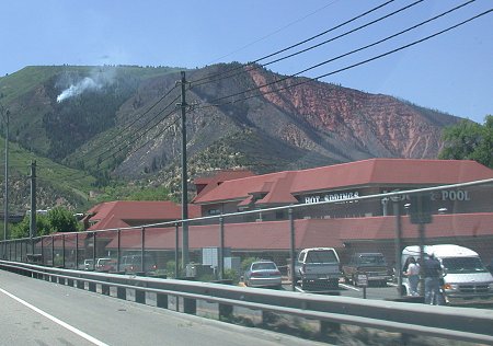
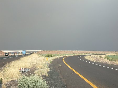
June 21, 2002, along I-10
near Winslow, AZ. The clear skies are
obscured by a heavy layer of
smoke from the Show Low fires.
|
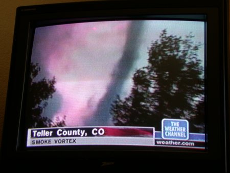
June 21, 2002, the smoky
sky changed several colors as
the sunlight tried to work through
the smoke.
|
|
|
June 21, 2002, 20 miles east
of Holbrook, AZ, the sky
started becoming brighter as
the eastern edge of the
Show Low fire smoke is neared.
|
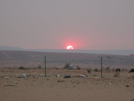
June 21, 2002, near Canyon
De Chelly National Monument,
AZ, the setting sun is obscured
due to the smoky air off to the
west. Look closely and
a rising plume of smoke can be
seen rising up toward the center
of the setting sun.
|